Project Name (if applicable, otherwise just type n/a)
Private Project -Tree mapping
Question
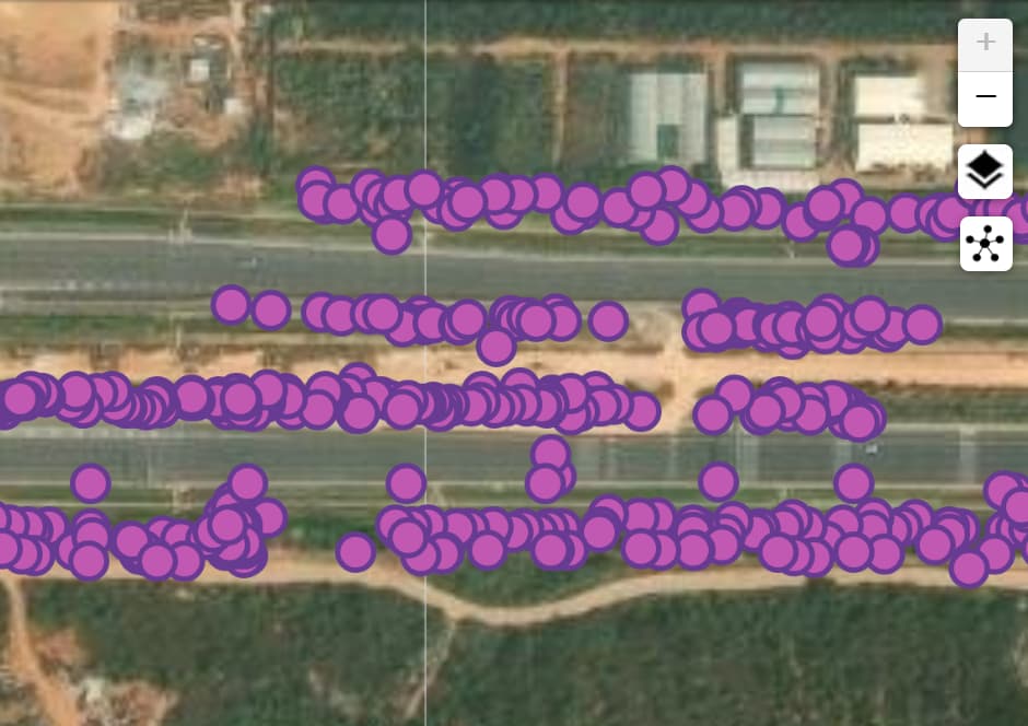
Currently zoom-in level in the map is limited to an extent. I have small trees location data and finding difficult to locate the tree at their current location while working in an GIS software since accuracy of the location is 4 meter. Please suggest if map can be zoomed in more?
Thank you for asking about the map zoom levels in Epicollect5.
While we aim to provide the best mapping experience possible, our zoom capabilities are currently limited due to our use of free-tier third-party mapping services.
To help you work with your data at higher zoom levels, we recommend:
Exporting your dataset from Epicollect5
Using alternative mapping tools such as:
Google Maps (offers detailed street-level views)
Carto (excellent for data visualization)
Kepler.gl (powerful for large datasets)
These platforms often provide enhanced zoom capabilities and additional mapping features that might better suit your needs.
Thankyou for the sharing the references.
Compared to the reference when i add the csv in google earth(for json file format google earth showing error of not a valid Geojson file) picture are not available as a link i which i can click and see the picture taken on site while mapping. Please suggest if it is due to some error in Form created for data collection or while importing i am missing something.